
USask agriculture, environmental sustainability projects receive Canadian Space Agency funding
Two innovative University of Saskatchewan (USask) research projects have received funding from the Canadian Space Agency (CSA) to use satellite technology for detailed mapping and analysis of the Earth’s surface.
By MATT OLSON, RESEARCH PROFILE AND IMPACTThe projects are two of 17 supported by the Research Opportunities in Satellite Earth Observation funding initiative from the CSA. The grants will support the selected satellite observational projects and the training and development of Highly Qualified Personnel and future researchers.
Integrating satellite imagery with field techniques to measure emissions
USask researchers are using state-of-the-art satellite imaging techniques to map agricultural emissions and to plan emission reduction strategies.
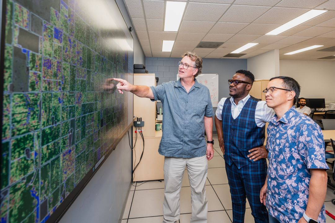
Dr. Steve Shirtliffe (PhD) with the College of Agriculture and Bioresources is leading a research project to map “hot spots” in growers’ fields where the greenhouse gas nitrous oxide emissions should be the greatest.
By using machine learning to incorporate data information from satellite imaging and factors like soil moisture content, Shirtliffe and his team hope to identify areas of potential high emissions early so they can be mitigated. The project will receive $437,676 over three years from the CSA.
“We’re not going to be able to see nitrous oxide emissions, but we’re going to be able to quantify areas that will have a higher risk (of emissions),” he said. “This will be good for farmers because they would know in what areas of their field they should employ practices to reduce emissions.”
Nitrous oxide emissions from farm fields have a variety of sources, but most are related to nitrogen-based fertilizers used for growing crops.
Emission hot spots in fields would then be a target for mitigation efforts, including optimized nitrogen fertilizer strategies with products to reduce overall emissions.
“We want to map areas that have an increased risk of emissions,” he said. “The grant is for us to model in-field variability and the future potential for nitrous oxide emission, which is a greenhouse gas.”
A crucial part of Shirtliffe’s project is the idea of wall-to-wall mapping – mapping every relevant farm field across Western Canada. The CSA-funded project to map nitrous oxide emissions is part of a multifaceted process for Shirtliffe, who will be using a combination of satellite imagery, on-the-ground data, and machine learning algorithms to map the spatial variability of every field in Western Canada to help farmers make more efficient decisions about their crops.
It is an ambitious project, but one with the potential to help growers across the country. Mapping potential emission hot spots and predicting their change and development over time with machine learning will help growers make the best decisions for their fields both now and in the future.
“It’s a rare win-win situation,” Shirtliffe said. “It can be good for the productivity of farmers, and it can be good for society. Efficiency is good for everyone.”
Measuring woody plant encroachment with satellite imagery
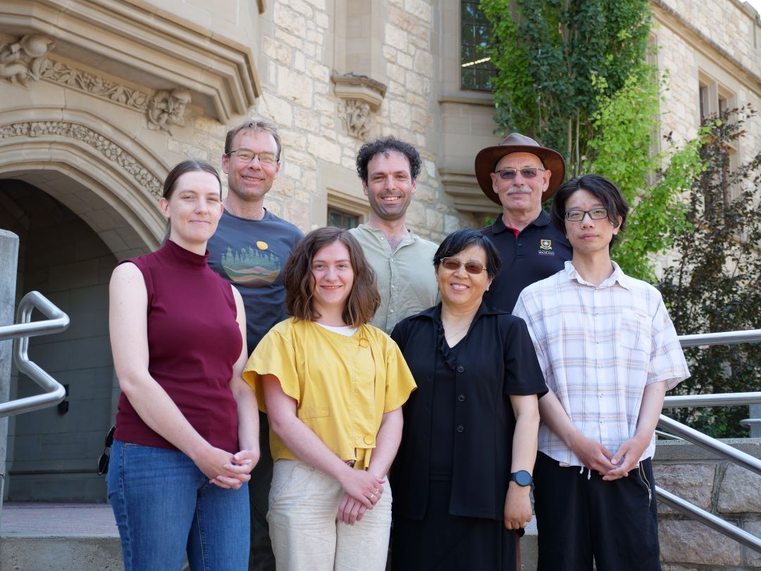
A team of USask researchers are using satellite image technology to map the spread of woody plants and their impact on Canadian grasslands. Led by Dr. Xulin Guo (PhD), department head of Geography and Planning in the College of Arts and Science, the USask research team aims to develop new ways to monitor woody plant encroachment and protect the grasslands of Saskatchewan and Canada, which are critical reservoirs of biodiversity and wildlife habitat. They also are major natural resources for the livestock industry. The project will receive $312,000 in funding over three years.
Dr. Irini Soubry (PhD) in the department of Geography and Planning – one of the lead researchers working under Guo – said the core goal of the project is about conserving the grassland ecosystem.
In the Great Plains Biome, the spread of woody plants into grasslands – in this case, thick brush and bushes up to 1.5 metres tall – is a major cause of Prairie grassland degradation after the conversion of grasslands to crop lands.
“The grassland ecosystem that the Canadian Prairies belong to is actually very degraded,” she said. “We want to see how we can preserve the remaining grasslands in a healthy state.”
The project has two overall goals. The first is to use satellite imagery to map the encroachment of woody plants to better inform land managers and conservationists on how to mitigate the threat of woody plants to grasslands. The second is to assess the economic value and social environmental benefits of preserving a healthy grassland ecosystem.
By utilizing both optical and radar imaging from Canadian and international satellites, Soubry said they can more accurately map the encroachment of woody plants across the province and get a much clearer picture of where, why and how encroachments are happening.
“We need to know where the woody plants are, how many are present in the grasslands, and how much they have expanded through time,” Soubry said. “And then what is driving this phenomenon, is there a way for us to stop this or reduce the pace at which it’s happening?”
Soubry said receiving the funding from the CSA for this project was an affirmation of many years of research that started during her PhD work, and a confirmation that the continued project had value for many stakeholders in Saskatchewan and across the country.
“What we are doing is important, and people are interested in it,” she said. “It’s not just research for research. It will really have an impact.”
Other members of this research team from USask include Yihan Pu and Elise Denning with the Department of Geography and Planning, Dr. Eric Lamb (PhD) with the Department of Plant Sciences, and Dr. Richard Gray (PhD) and Lampros Nikolaos Maros with the Department of Agricultural and Resource Economics.
Together, we will undertake the research the world needs. We invite you to join by supporting critical research at USask.